Earth observation
Collecting data about Earth's surface and atmosphere from orbit — satellites imaging the planet continuously to track what changes and when.
Satellites carry sensors — optical cameras, radar, thermal detectors — and pass over every point on Earth on fixed orbital cycles. The raw product is a timestamped record of the planet: crop health, urban growth, flood extent, ice loss, ship movements. What limited the field for decades was the gap between passes: a single satellite might revisit the same patch of ground every few weeks. Constellations of small satellites compress that to hours. The hard part shifts from acquisition to analysis — the data volume exceeds what humans can inspect, so extraction depends on automated classification at scale.
Where it came from
In megatrends
Finds citing this concept
Overall = breadth + depth + substance + ½·novelty + freshness (a small boost that halves each week)
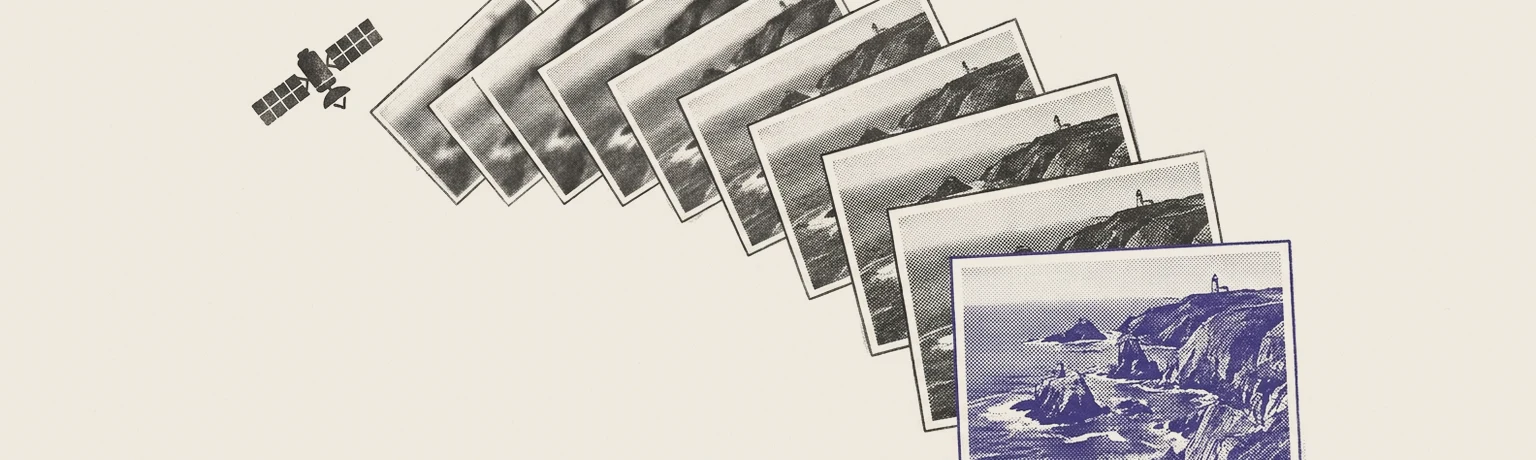
Sharp and frequent, at last
Planet's Pelican fleet is built to photograph any spot on Earth up to ten times a day at 30-centimeter detail — sharpness and cadence that satellite buyers used to have to choose between.
How this connects
Tap a node to open it